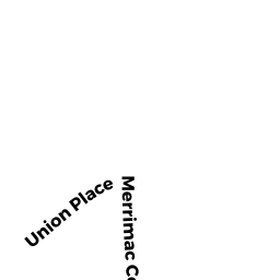
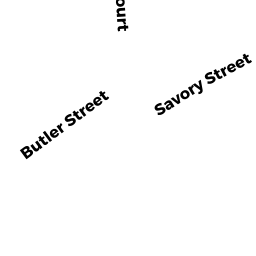
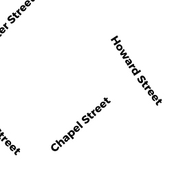
1 SAVORY ST
Owner Information
MCPHERSON DONALD D JR
1 SAVORY ST
NEWBURYPORT, MA 01950


Property Details
1 SAVORY ST is classified as a SFR WATER MDL-01 (Cape cod).
The primary structure on this property was built in 1966. There are 3874ft2 of built area within this property. There is 910ft2 of residential/living space within this property. This property is listed as having 30 rooms.
1 SAVORY ST is valued at 863900. The land is valued at 726300 and the structures are valued at 135800. There is an additional valuation of 1800 on this property.
This property is in Zone WMD. Confirm with local Zoning Board authorities to ensure there are no overlays or other easements on this property.
The most recent deed for 1 SAVORY ST is recorded at the local registrar in Book 25241, Page 441. 1 SAVORY ST was last sold on 2005-12-29 for 0.
Assessment data from fiscal year 2021.
Flood Data
This property is partially within the AE Zone (within floodplain). Approximately 0.95 acres (67.02%) of the property is within this zone.
The base flood elevation for this flood zone is 8 feet.
This information is sourced from the FEMA National Flood Hazard Layer. See our full disclamer.
Broadband Internet Providers
| Provider | Type | Bandwidth (mbps) | |
|---|---|---|---|
| HughesNet | Satellite | 25 | 3 |
| Verizon New England Inc. | DSL | 10 | 1 |
| Comcast | Cable | 1000 | 35 |
| Viasat Inc | Satellite | 100 | 3 |
| T-Mobile | Fixed Wireless | 25 | 3 |
| GCI Communication Corp. | Satellite | 0 | 0 |
| VSAT Systems, LLC. | Satellite | 2 | 1 |
Broadband service provider data from December 2020.
Adjacent Properties
- 20 MERRIMAC CT
Marinas - including marine terminals & associated areas primarily for recreational marine craft (not Ch. 61B) owned by NEWBURYPORT MANAGER LLC TRS - 1-5 CURRIERS LANDING
Other, Open Space owned by CONDO MAIN - 10 MERRIMAC CT
CONDO MDL-05 owned by FITZGERALD MICHAEL T - 1 CURRIERS LANDING
CONDO MDL-05 owned by LILLY JOSIAH K IV TRS - 3 CURRIERS LANDING
CONDO MDL-05 owned by SCHAEPE STEVEN B - 5 CURRIERS LANDING
CONDO MDL-05 owned by OREILLY DANIEL M TRUSTEE - 6-6.5 MERRIMAC CT
Other, Open Space owned by CONDO MAIN - 6 MERRIMAC CT UNIT A
CONDO MDL-05 owned by FUTRAL KAREN - 6 MERRIMAC CT UNIT B
CONDO MDL-05 owned by LAWTON JACQUELINE - 6 MERRIMAC CT UNIT C
CONDO MDL-05 owned by RIVARD MARY - 3 SAVORY ST
Single Family Residential owned by DEFELICE WENDY S TRS - 5 SAVORY ST
Single Family Residential owned by OLSEN STUART K